May 20, 2018 - Flying back from Johnson City, TN
|
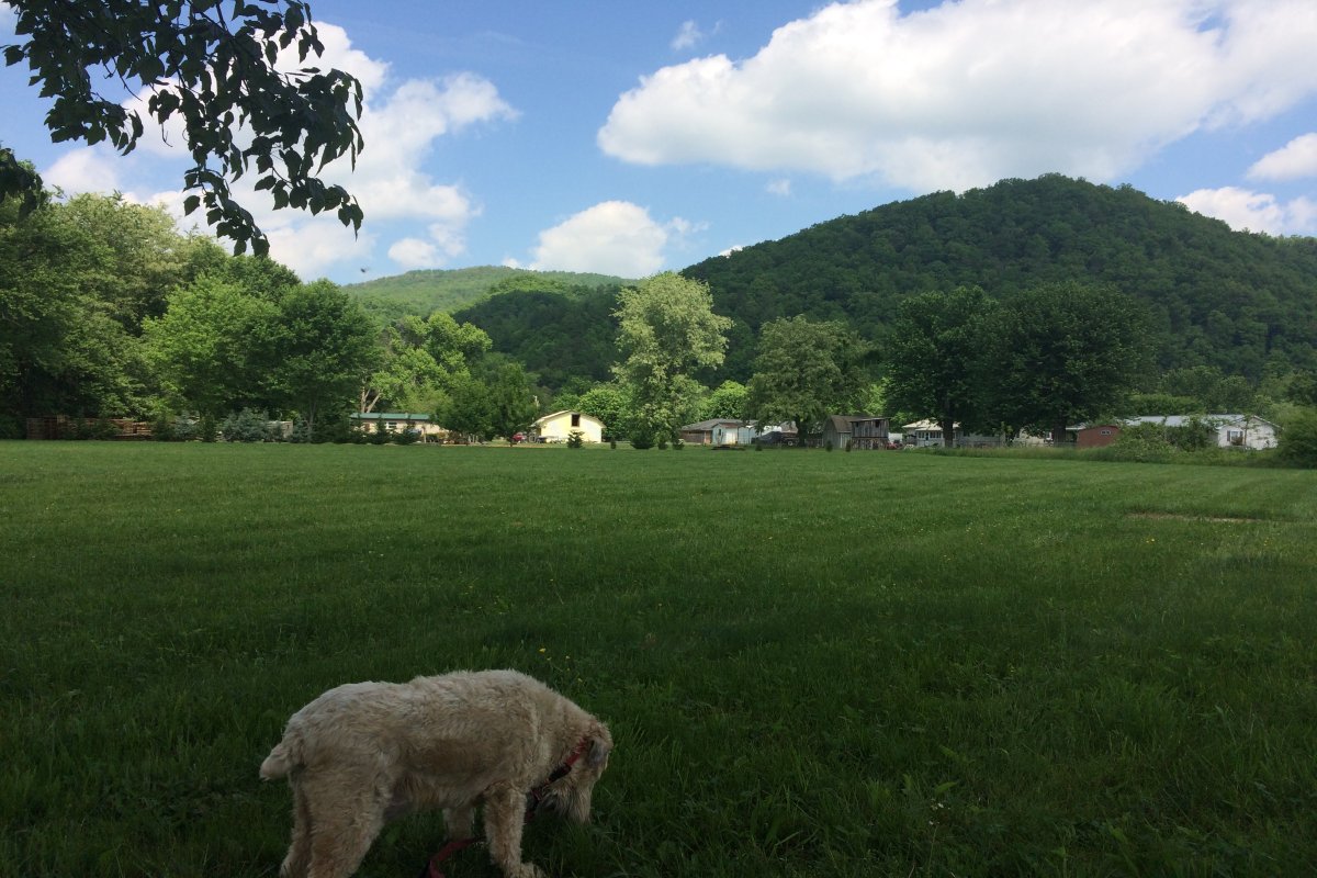
| I spent the week with my Mom in Erwin, Tennessee, which is in a valley and very green this time of year. I spent a lot of time walking my Mom's dog, Fergus. |
| |
 |
|
|
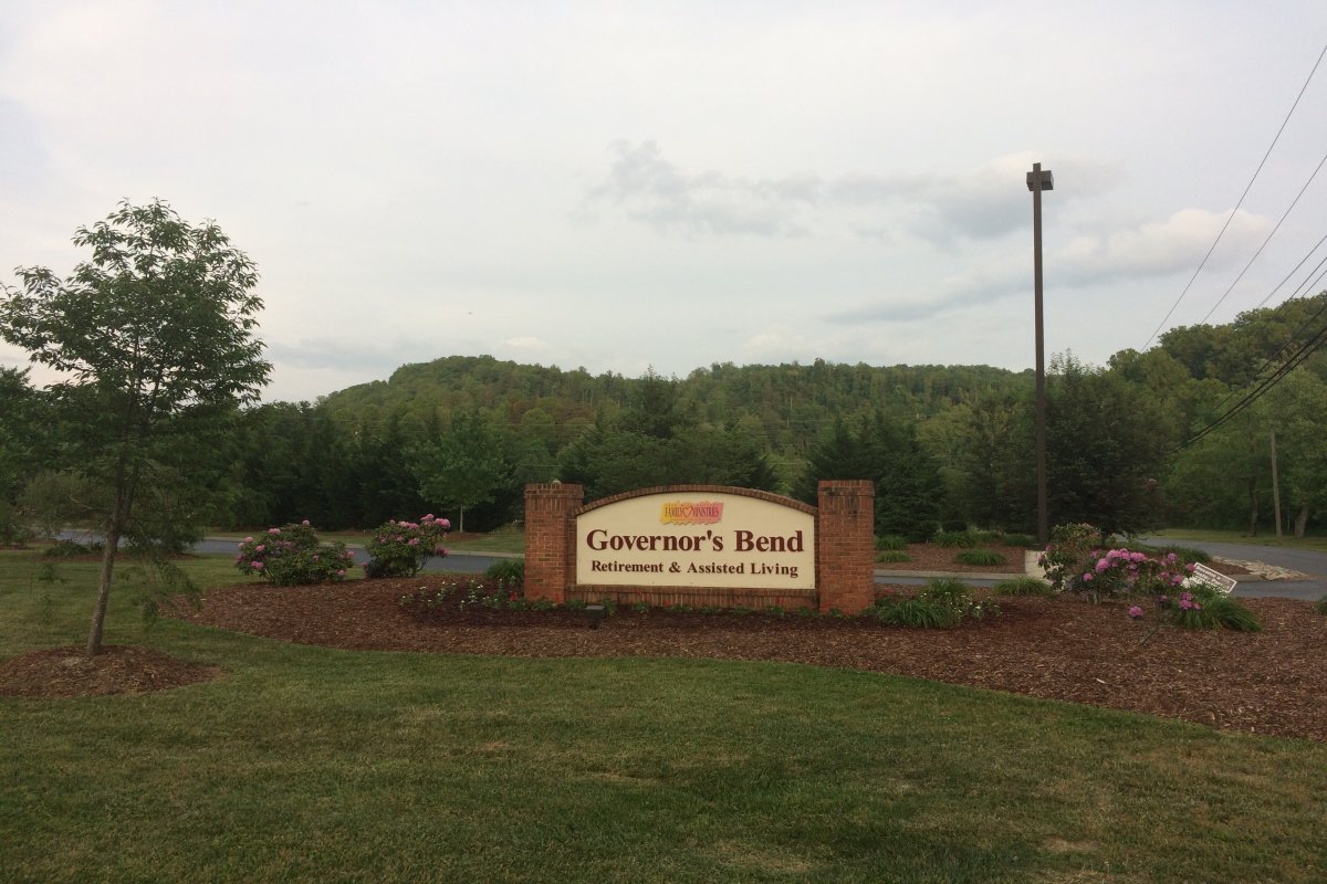
I stayed with my Mom at Governor's Bend which ia a very nice facility.
|
| |
 |
|
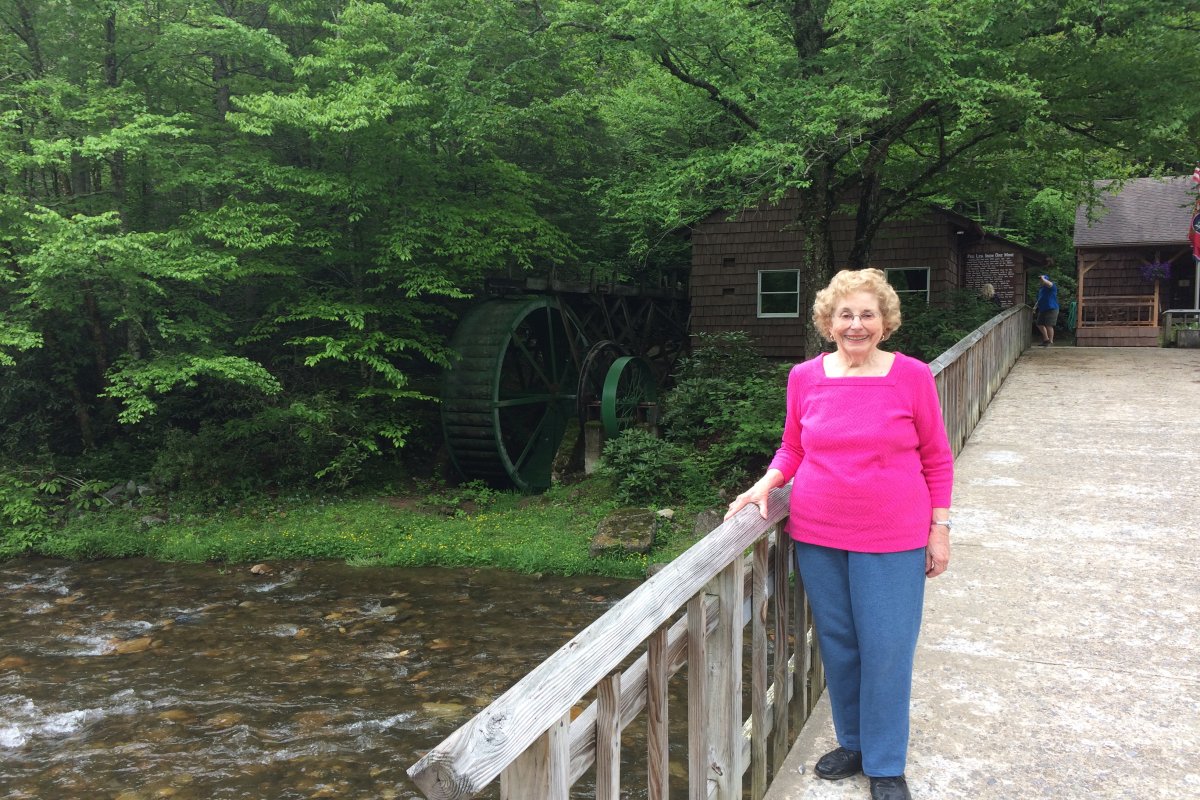
| On one of the few nice weather days we had, we drove up into the mountains east of Erwin, to Roan Mountain State Park. I had never been up here beofre. It was very scenic. |
| |
 |
|
|
My Mom outside the Visitor's Centger and site of an old mill.
|
| |
 |
|
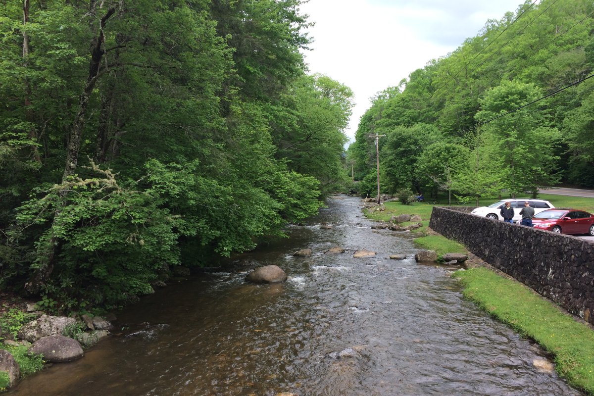
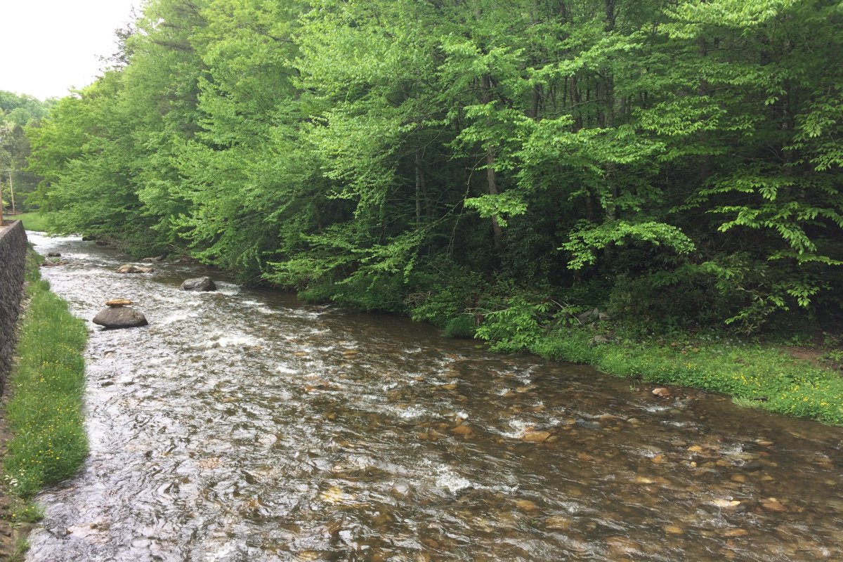
| Heaton Creek. |
| |
 |
|
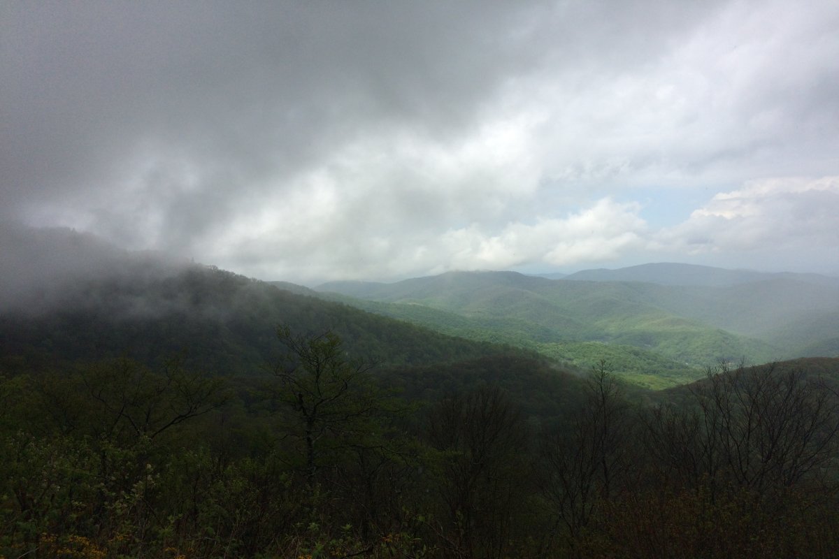
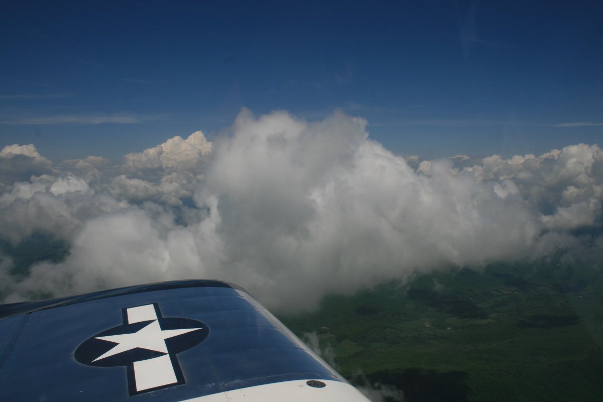
| As we climbed Roan Mountain, we entered the clouds. |
| |
 |
|
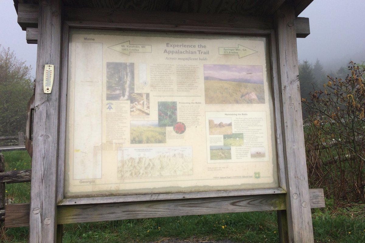
| We stopped at where the Appalachian Trail crosses the road. We were there less than five minutes when the skies opened with heavy rain. We were able to get in the car. The hikers: no escape! |
| |
 |
|
|
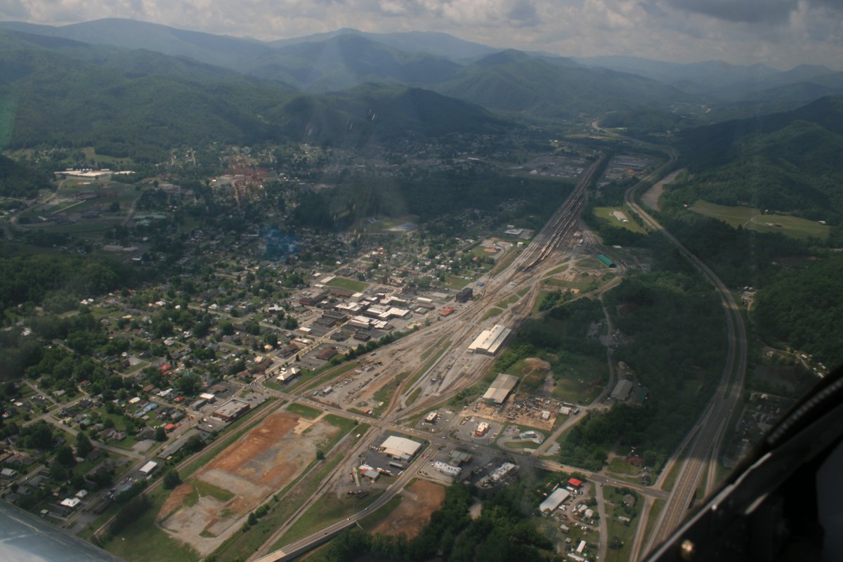
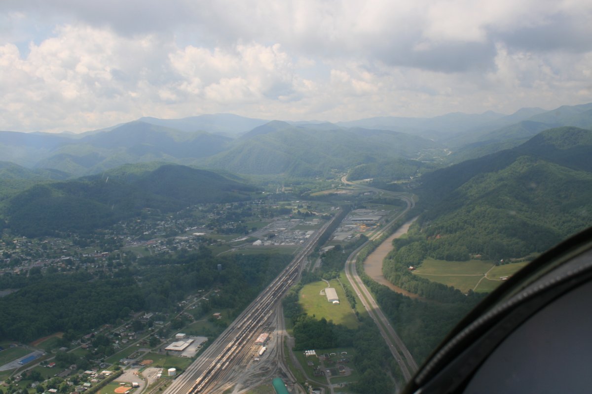
I had to delay my departure a day because of weather. But the weather was good the day I headed home. I took off from Johnson City airport -- where my plane was tied down all week -- and headed south-southwest to see Erwin from the air, which I hadn't done before.
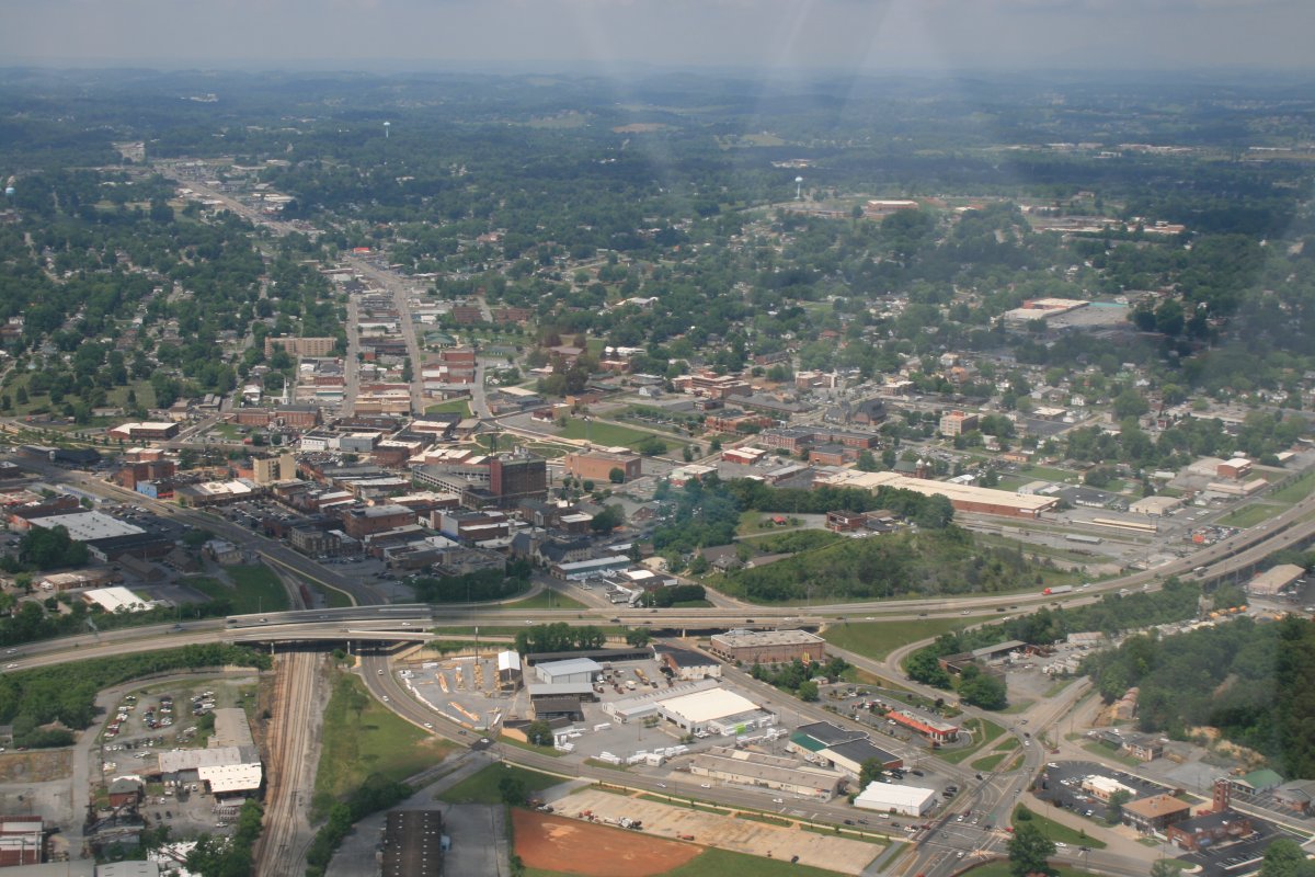
Here is Erwin, looking south. The town was settled in the 1780s and founded in 1876. It currently has a population of a little over 6,000. As you can see, it has a big railroad complex. Erwin was host to a CSX rail yard, diesel shop, and car repair facility, which closed in 2015.
|
| |
 |
|
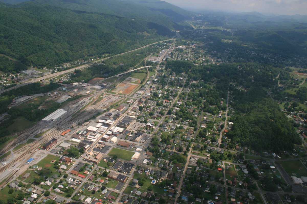
| The same view, but looking up a little. From Erwin, Interstate 26 heads south through the mountains on a very pretty drive with little civilization, until Asheville, North Carolina on the other side of the mountains. |
| |
 |
|
|
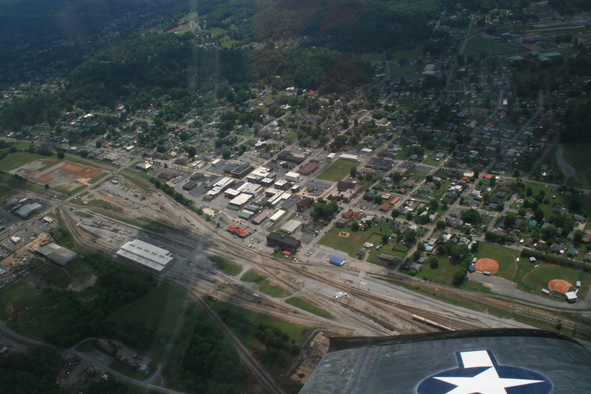
Looking at downtown Erwin. The train used to stop here, but now the train station is used as a public library.
|
| |
 |
|
| Looking north from Erwin. |
| |
 |
|
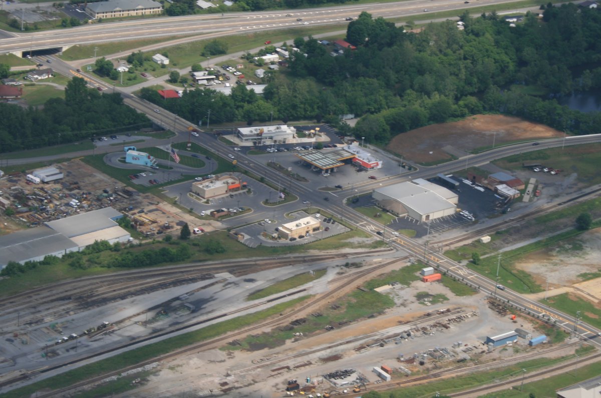
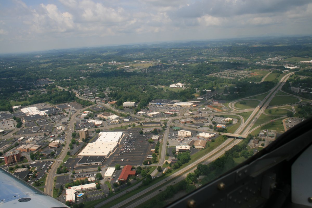
| One of the Erwin exits off I-26. This one has all the fast food places: Pals, McDonalds, Bojangles, Taco Bell. |
| |
 |
|
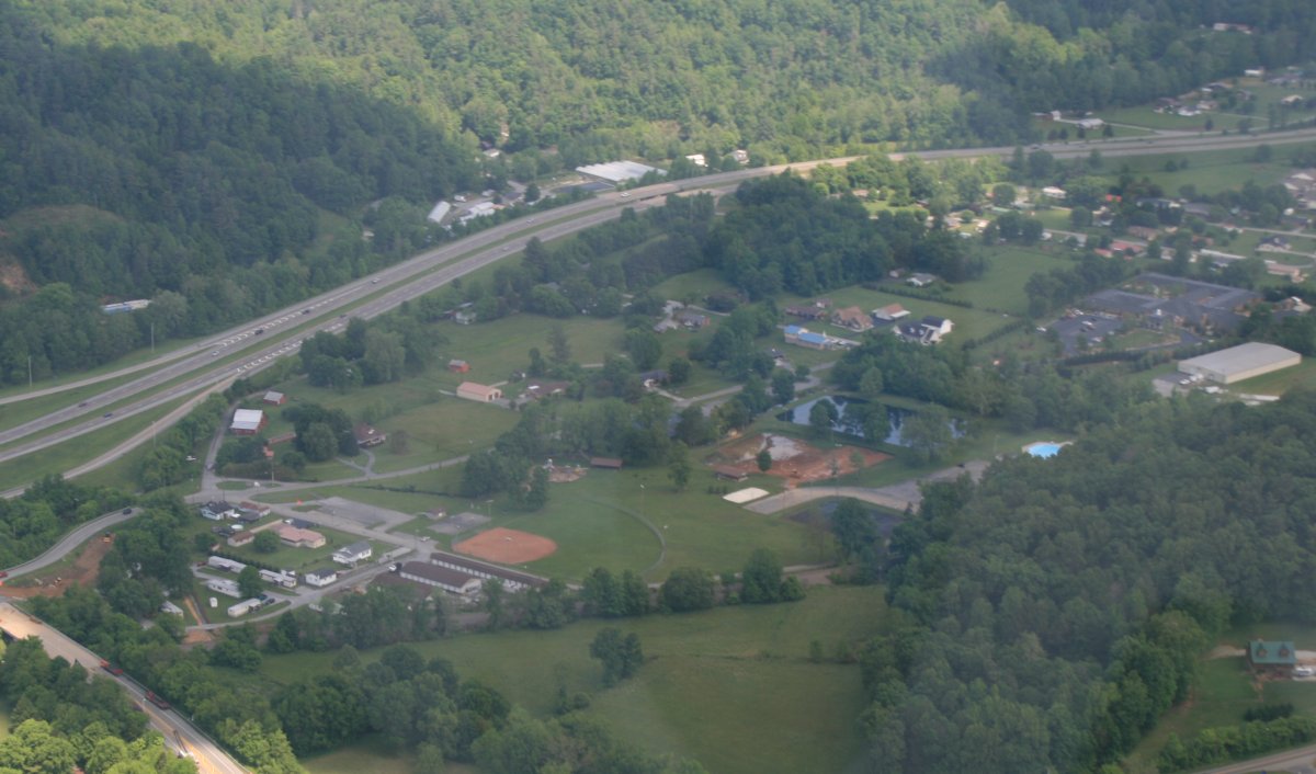
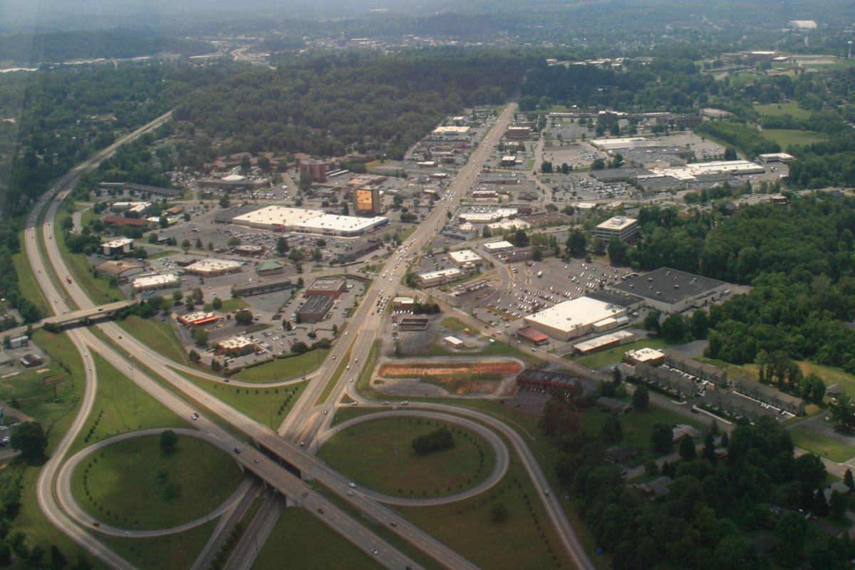
| Further north, the park where I take Fergus sometimes, and at the far right center: Governor's Bend. |
| |
 |
|
|
I took three overhead pictures of Governor's Bend and they were all blurry! I couldn't believe it. Well, I'll have to take a good picture on my next flight down.
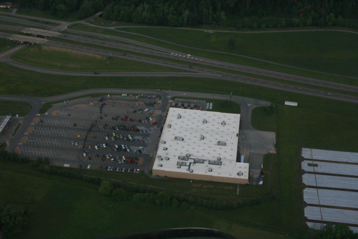
Anyways, continuing north, the big WalMart.
|
| |
 |
|
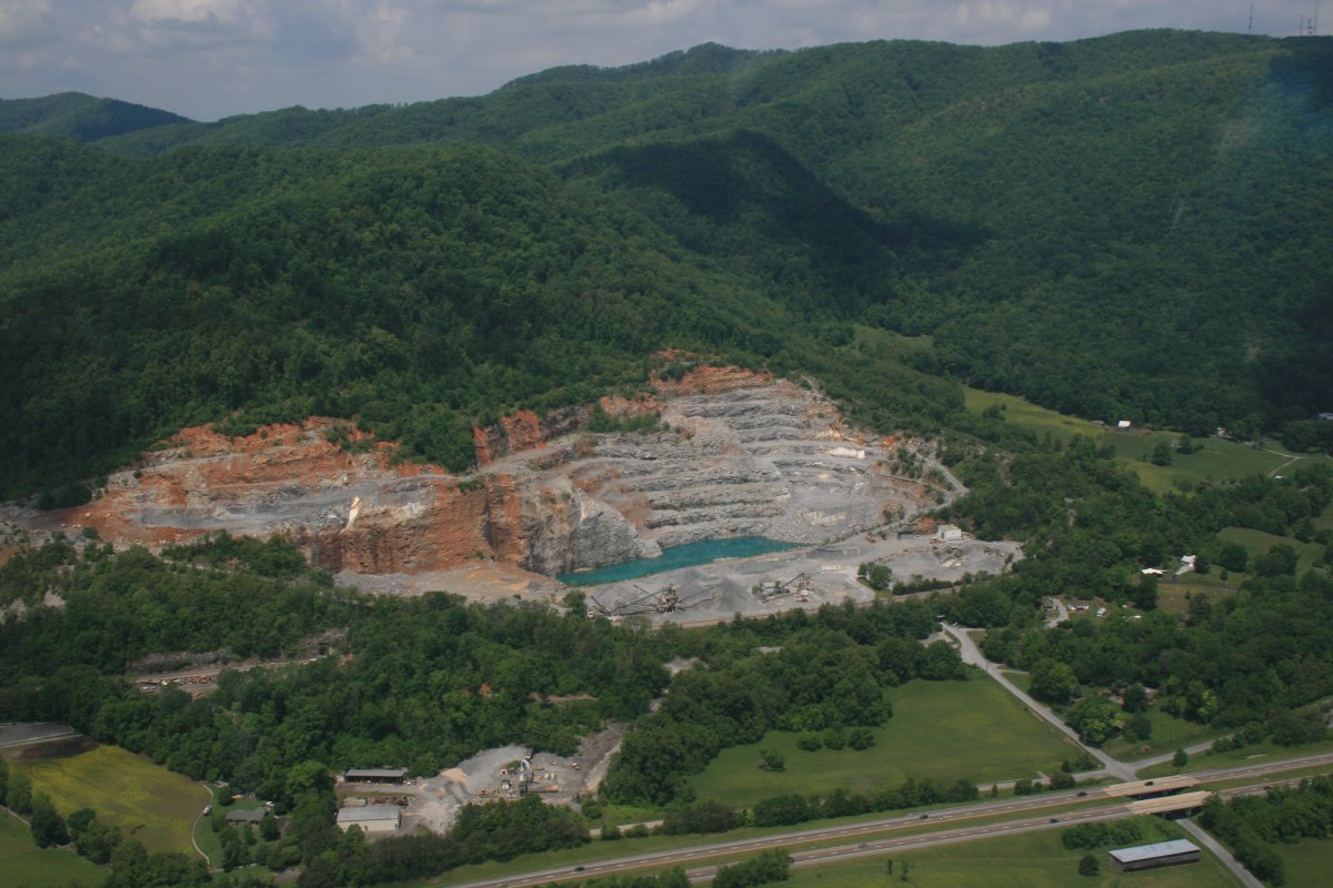
| Moving further north, I was surprised to see this big quarry on the west side. It is not visible from the Interstate. I had no idea it was there. |
| |
 |
|
|
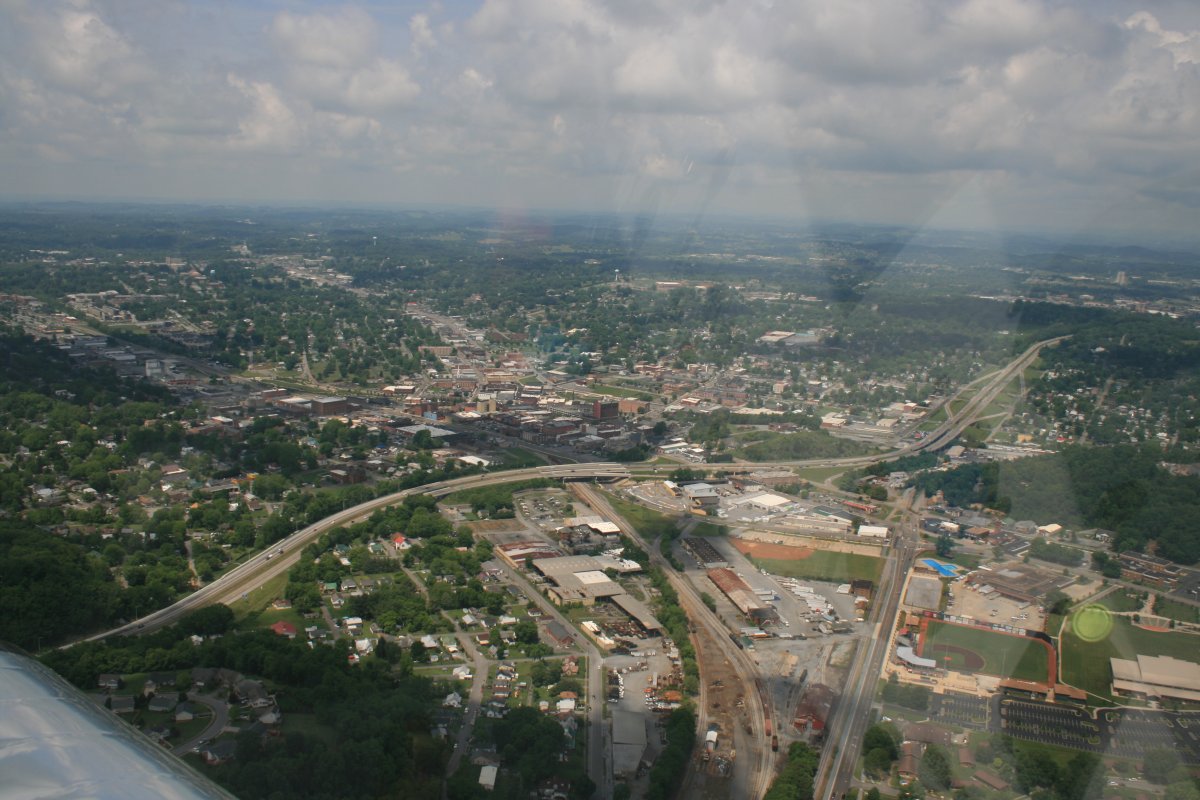
Further north, I am back go Johnson City, which as you can see, is much larger than Erwin.
|
| |
 |
|
| Downtown Johnson City. |
| |
 |
|
| Following I-26 northwest. The area at bottom left is where most of our favorite restaurants are. |
| |
 |
|
| |
 |
|
|
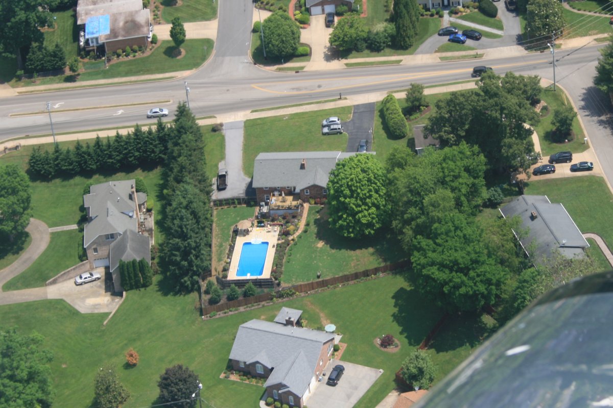
Looking down at my sister's house.
|
| |
 |
|
| From another angle. |
| |
 |
|
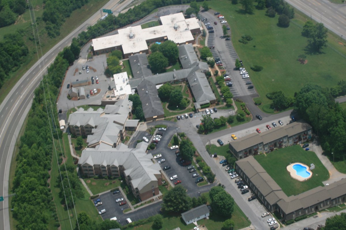
| Colonial Hills -- the building at lower left, where my parents first lived, when they moved to Tennessee. |
| |
 |
|
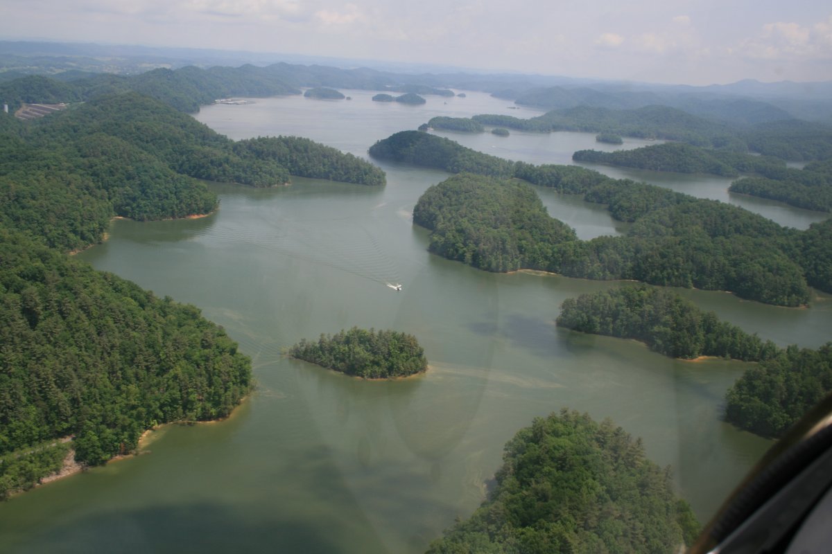
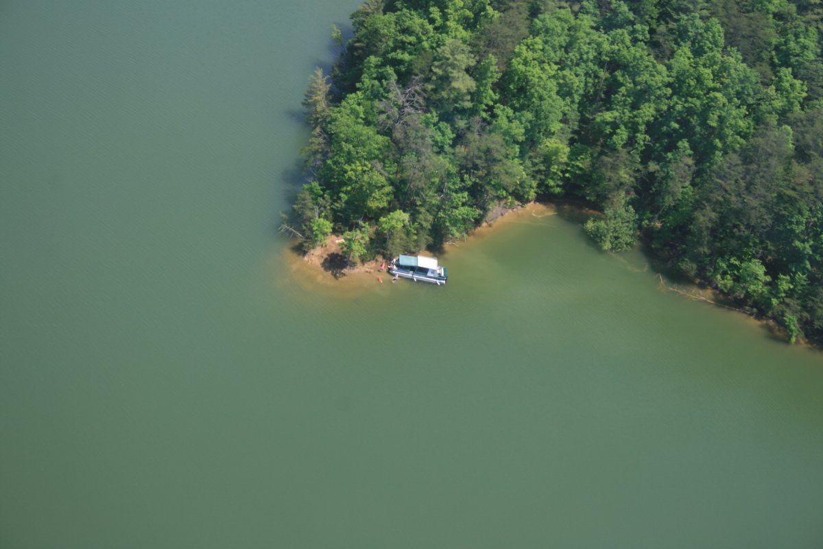
| Now heading northeast for home, I always like to fly over South Holston Lake. |
| |
 |
|
| |
| |
 |
|
| |
 |
|
|
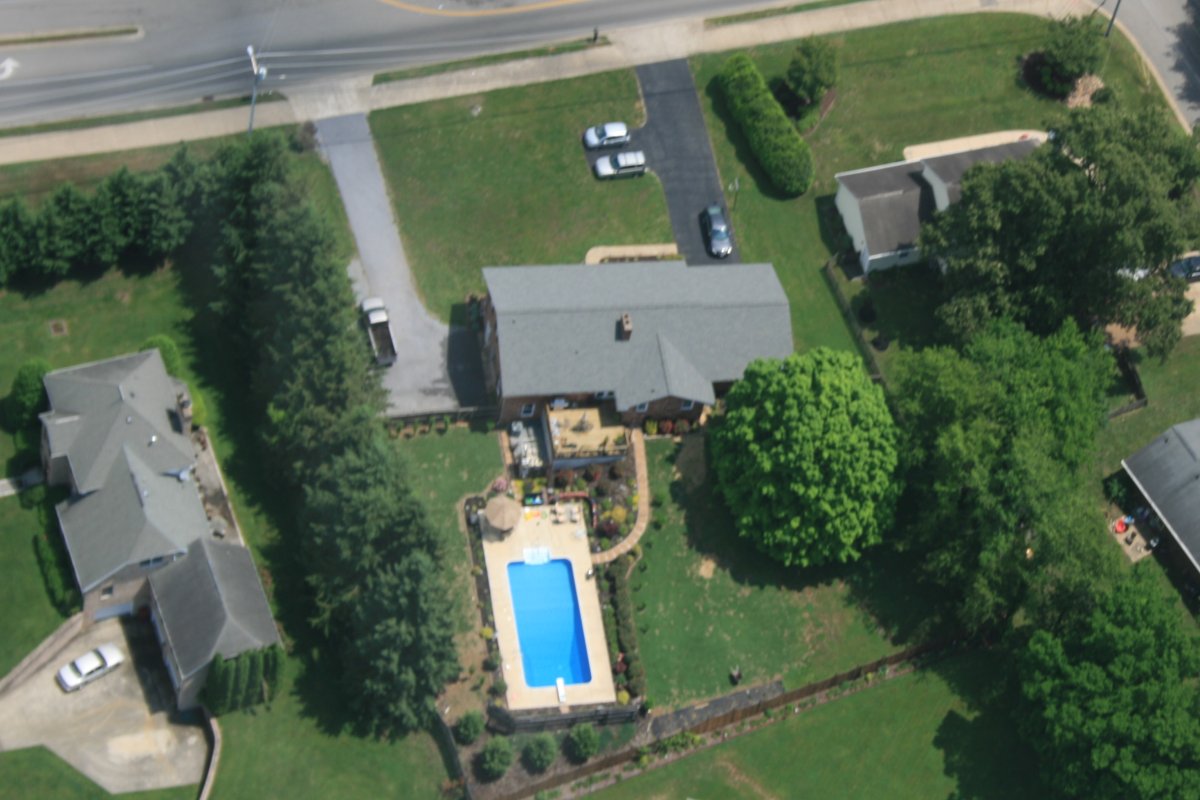
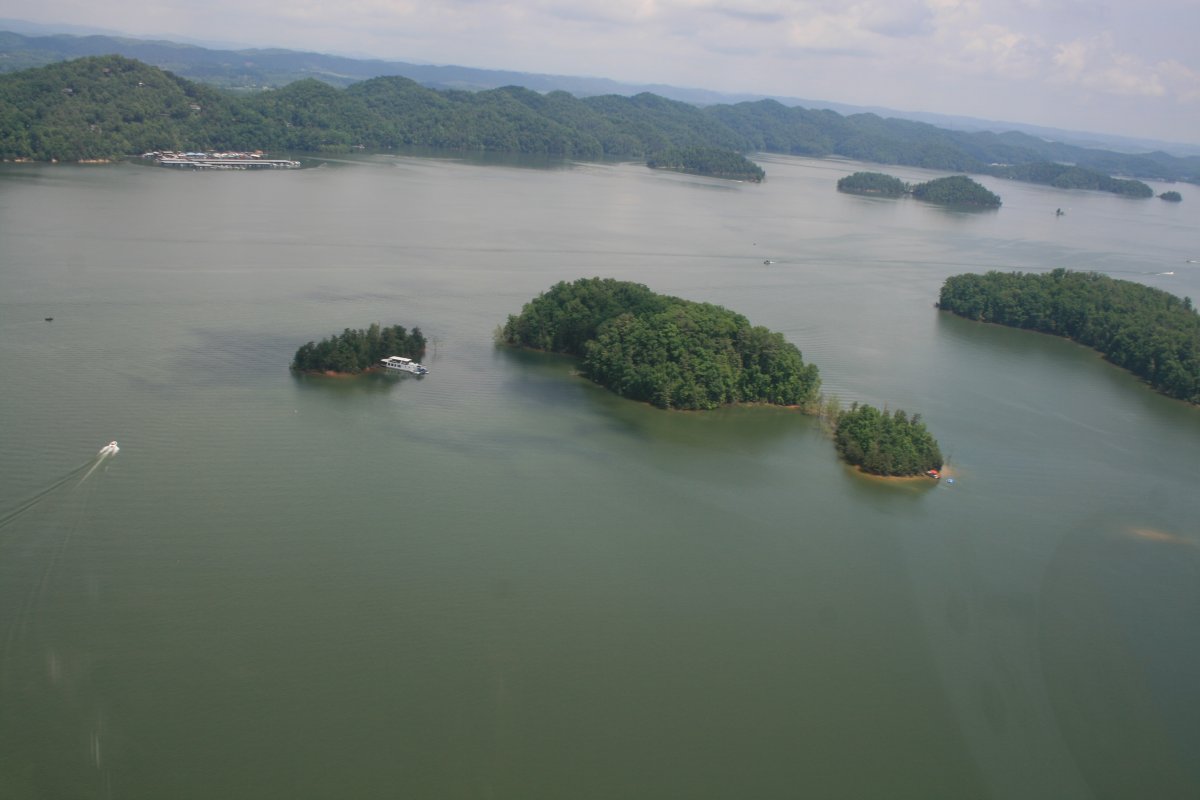
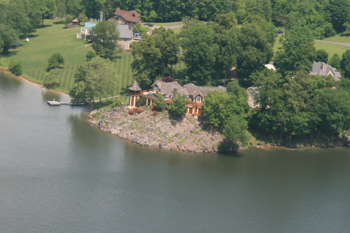
A very nice house overlooking the Lake.
|
| |
 |
|
|
Then I climbed to 7,500 feet to make some speed.
|
| |
 |
|
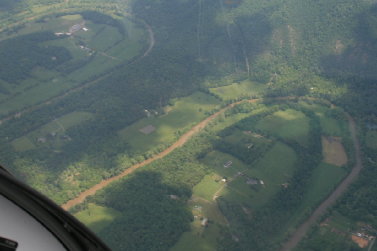
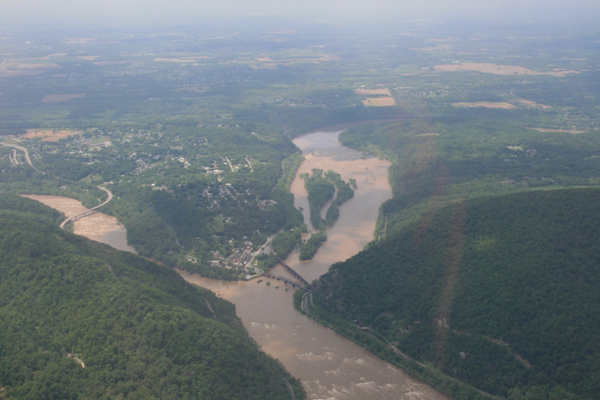
| Now over the Shenandoah Valley region, I'm always amazed by the precision S-turns of the Shenandoah River. |
| |
 |
|
|
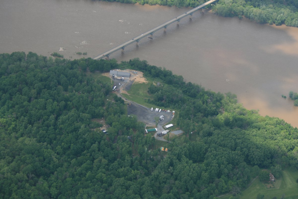
Downstream from Harpers Ferry, Highway 340 cross the Potomac River. Back when the kids were kids, we used to come here a lot and inner tube down the river. The outfitter was called "Butts Tubes". Now it's Harpers Ferry Adventure Center and they have a new location and facility -- that's it down below.
|
| |
 |
|
| Looking back at Harpers Ferry. |
| |
 |
|
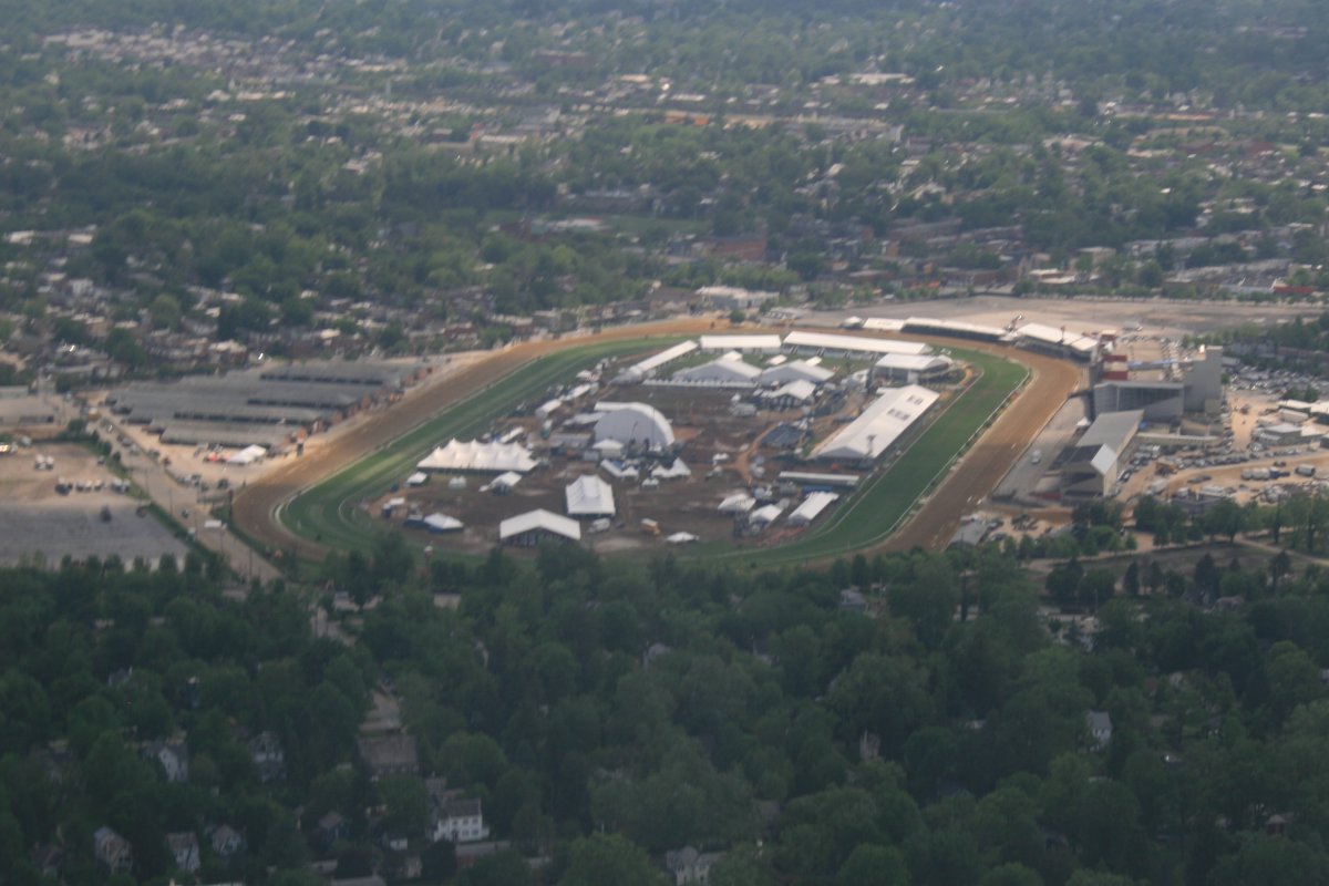
| Passing by Pimlico race track. Notice all the tents in the infiield; they just ran the Preakness yesterday in pouring rain! |
| |
 |
|
| |
| |
|
|
|
|
|
|